El Niño contributing to ‘monsoon on steroids’ behind Southland’s humid weather
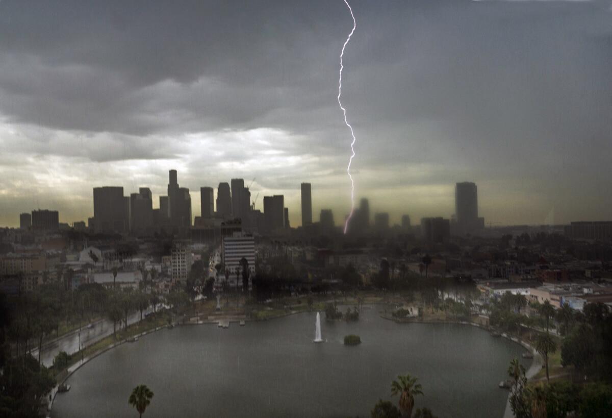
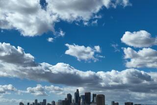
Lightning splits the sky over downtown Los Angeles July 18, 2015. More storms could be ahead in the coming days.
Yes, it’s hot, but the real story is the humidity.
California is experiencing a particularly muggy, sticky summer, and some experts say rising ocean temperatures are at least partly to blame.
Record-high sea temperatures off the Mexican and Central American coast are supercharging moist air moving from Mexico into California, some scientists say, dousing us with weather that seems more like Houston than Hollywood.
“We call it the monsoon on steroids,” said Bill Patzert, a climatologist at NASA’s Jet Propulsion Laboratory in La Cañada Flintridge. “It’s drawing up warmer, more moist air, because of that very warm El Niño water to the south.... If it’s hotter and it’s moister, it’s more volatile.
“For Southern California, it is a shock, because the humidity is so high.”
The state will get another taste of Florida-style weather over the next few days as another humid, wet storm system moves through.
On Wednesday, some parts of Southern California’s high desert were hit by intense bursts of monsoonal rains that officials warned could cause flooding. Northern California was dealing with blazing temperatures, with Sacramento setting a new record for the day: 108 degrees.
Thunderstorms are expected to threaten large swaths of the state Thursday, from the south to the San Francisco Bay Area and Yosemite — especially in the afternoon and evening.
Lightning storms could remain a problem into the weekend in Southern California’s mountains and inland valleys and deserts and in the Sierra Nevada, the National Weather Service said.
Not everywhere will get rain. But the areas that get hit could see intense rainfall, erratic winds, lightning strikes and possible flash flooding. The highest risk comes in the late afternoon, the hottest time of the day.
The coming humidity is expected to worsen the effect of soaring temperatures that have been sweeping California as a particularly powerful mass of hot high pressure rides westward from Texas and into the mountains and deserts of the Southwest.
In Southern California, that means winds will stop pulling in weather from the Pacific Ocean, which typically gives Los Angeles dry heat, and instead drag up weather from the tropics southeast of the state.
“The winds are originating over Mexico. It’s bringing that air mass over Southern California,” said Brett Albright, a meteorologist with the National Weather Service office in San Diego.
Typically, it’s places such as the Grand Canyon, Phoenix and Las Vegas, rather than Los Angeles, that get this so-called monsoonal moisture at this time of year.
But the mass of high pressure from Texas moving westward “is a lot larger than normal, and El Niño has kicked up a lot of moisture,” said Stuart Seto, a specialist at the National Weather Service’s Oxnard office.
The mass of high pressure is grabbing moisture from Mexico and bringing “it all the way over to us,” Seto said.
El Niño is a weather phenomenon characterized by a warming of ocean waters west of Peru that causes changes in the atmosphere which can dramatically alter weather patterns worldwide.
One change that can occur in the winter is the shifting toward California of a subtropical jet stream that normally pours rain over the jungles of southern Mexico and Central America.
That happened during the most powerful El Niño on record, which hit in 1997-98 and resulted in a relentless string of punishing storms focused on California during that winter. A repeat for California this winter could result in some relief from the state’s punishing four-year drought.
Some forecasts suggest El Niño could be quite powerful this winter and rival the 1997-98 event. But, Patzert said Wednesday, “We’re not in 1997 yet. There’s still some missing pieces, and the El Niño has to intensify.”
One missing element is the sharp decrease of east-to-west trade winds across the Pacific Ocean, which is needed for El Niño to strengthen, Patzert said.
Temperatures could be near 90 in downtown Los Angeles by Friday and approach 95 in Burbank. Rising humidity will make the heat feel much worse because the air will be so moist that sweat can’t evaporate from skin. That frustrates the body’s cooling-off process and keeps bodies sticky and hot.
For instance, a temperature of 90 degrees at 40% humidity feels like 91 degrees. But as humidity ticks up to, say, 60%, the same 90-degree temperature will feel like 100 degrees in the shade, and even hotter in direct sunlight, Seto said.
Seto said humidity has been unusually high this July, and rising sea temperatures related to El Niño are playing a role in this week’s forecasted storms as well as last week’s, when remnants of Hurricane Dolores caused flooding that wiped out a bridge on Interstate 10 an hour east of Palm Springs and dumped four inches of hail on Interstate 80 near Lake Tahoe.
The exceptionally warm seawater west of Mexico has fueled an unusually active season of tropical storms and hurricanes in the Pacific Ocean, Patzert said.
“The presence of unusually warm waters was responsible for the busy hurricane season we’ve had so far in the eastern Pacific,” Patzert said. “And it’s the source of this very warm subtropical moisture that’s being drawn up by that high-pressure system.
“In some ways, the intensity of the monsoon moisture and the thunderstorms is because of the presence of all that El Niño water.”
Rising ocean temperatures off the California coast are also a factor in rising humidity along the coast this summer.
“The water temperatures are anomalously warm,” said Albright of the San Diego weather service office; they’re in the low 70s across a large swath of the coast, about 3 to 5 degrees above average. “It actually adds more moisture in our typical marine layer ... and it’ll stay warmer at night.”
Not everyone believes this week’s monsoonal storms are related to El Niño.
Daniel Swain, a climate scientist at Stanford University, considers this week’s monsoonal storms to be “fairly run-of-the-mill.”
But he said El Niño could bring another remnant of a hurricane like Dolores to Southern California again before the hurricane season ends in October.
“That event was truly exceptional,” Swain said. “And that is largely because of the very warm ocean temperatures related to the strong El Niño event.”
ALSO:
Drought now Californians’ top concern, poll finds
Hey, California, you can still have a lawn! Here are five water-wise alternatives
Keeping up with the Joneses’ drought-friendly yard boosted MWD’s tab for rebates
More to Read
Start your day right
Sign up for Essential California for news, features and recommendations from the L.A. Times and beyond in your inbox six days a week.
You may occasionally receive promotional content from the Los Angeles Times.
