Santa Monica-area residents brace for California Incline construction
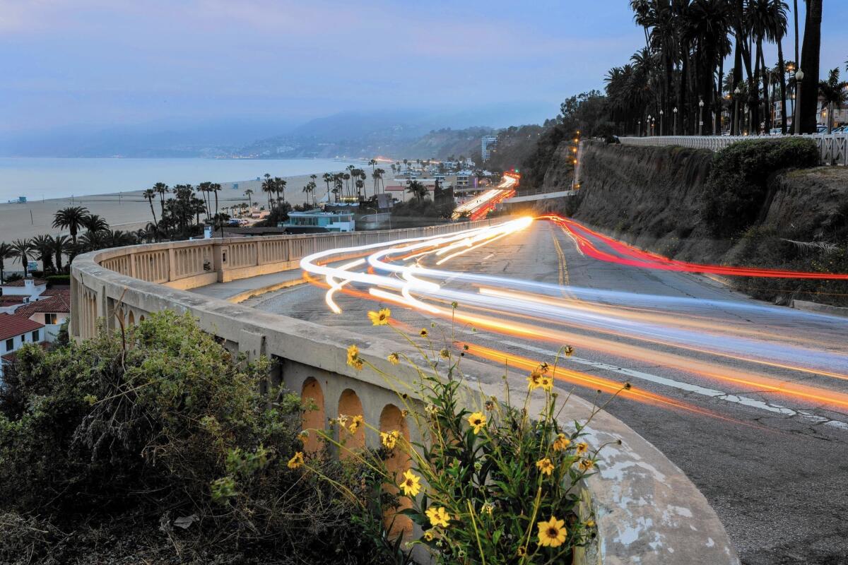
In a region known for romanticizing its roads, the California Incline in Santa Monica has long been a beloved landmark.
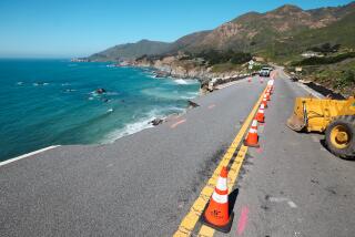
The road, which connects the beach with the bluffs, affords spectacular coastal views that have made it a subject of postcards and tourist photos for more than a century. The ramp has remained a constant in the beachside city from the days of horse-drawn buggies.
But time has taken its toll.
Now, after years of delays, the incline is finally about to get a $20-million renovation that will dramatically improve the road but also cause traffic headaches.
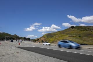
For motorists barely recovered from the epic 405 Freeway widening, still suffering through Expo Line light rail construction and girding for years of subway building, the project is a source of anxiety.
Construction workers on April 20 will begin the task of demolishing and rebuilding the incline, which descends from Ocean Avenue to Pacific Coast Highway.
The project — which will require the full shutdown of the link used by 15,000 vehicles daily as well as the closure of a northbound lane of PCH — is expected to take about 13 months. Planned detours for northbound and southbound travelers will add several minutes of driving time.
Residents of Pacific Palisades and Malibu, in particular, are bracing for nightmarish clogging as motorists experiment with commute-shaving shortcuts.
“We’re all very scared out here,” Malibu Councilwoman Laura Rosenthal said. “There is a potential for horrific commutes morning and afternoon.”
Road signs will direct motorists to detours recommended by Santa Monica officials after consultations with neighborhood groups, traffic engineers and local businesses.
Motorists who typically take the incline to go north on PCH will be advised to go south on Lincoln Boulevard to the 10 Freeway and then merge onto northbound PCH at the McClure Tunnel.
Motorists heading south on PCH will be directed to go past the incline to the recently refurbished Moomat Ahiko Way to reach downtown Santa Monica or to exit the 10 at Lincoln Boulevard for points farther east.
Santa Monica officials are well aware that not all motorists will be on their best behavior.
“People will explore and try to find the route that works best for them,” said Susan Cline, interim director of Santa Monica’s Public Works Department.
Commuters headed to Westside jobs are likely to gravitate to small local arteries in the Santa Monica Canyon area of Pacific Palisades, including West Channel Road and Entrada Drive. Motorists also are expected to clutter Temescal Canyon Road and Chautauqua Boulevard on their way to Sunset Boulevard.
Kanan Dume and Malibu Canyon roads and Topanga Canyon Boulevard also could shoulder additional traffic.
Cline said that the project contractor, MCM Construction Inc., will monitor traffic patterns and that the city will attempt to adjust accordingly.
That hasn’t stopped people in the canyons from fretting.
The project’s environmental impact report anticipates that the closure of the incline will cause “saturation” levels of traffic in the canyon. That has raised the specter of unprecedented safety hazards as well as a massive inconvenience for the thousands of pedestrians, joggers and cyclists who use the canyon.
“Santa Monica Canyon is going to get hammered more than anybody anywhere,” said George Wolfberg, with the Santa Monica Canyon Civic Assn., a neighborhood group. “When Santa Monica sneezes, we get pneumonia.”
Complicating matters is an ongoing Los Angeles sewer replacement project that continues to close lanes on PCH near the Annenberg Community Beach House. Los Angeles expects to complete that work in June.
Santa Monica also recently began building an esplanade along Colorado Avenue that will run from the new Expo Line station at 4th Street to Ocean Avenue.
No one is challenging the necessity of the incline project, the cost of which will be covered mostly by federal funds.
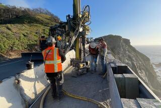
The incline, technically a bridge, was last renovated in the 1930s and falls very shy of meeting current seismic standards. Portions of the bluffs below have given way, and crumbling concrete and exposed rebar are prevalent.
According to the project website, the new bridge, a concrete slab structure supported by piles, will be 52 feet wide, beating the existing incline by 51/2 feet. It will feature a wider sidewalk and bicycle lanes. As part of the project, adjacent bluffs will be stabilized.
Scott Dendall, a spokesman for the project, said the city has authorized construction from 7 a.m. to 10 p.m. Mondays through Fridays and from 7 a.m. to 9 p.m. on Saturdays.
Caltrans will allow the contractor, as needed, to close one northbound lane of PCH from 9 a.m. to 1 p.m. and 7 p.m. to 10 p.m. between Labor Day and Memorial Day. No PCH lane closures will be allowed during the summer.
The incline is expected to reopen in time for Memorial Day weekend 2016. A project hotline has been established at (888) 303-6026.
martha.groves@latimes.com
Twitter: @MarthaGroves
More to Read
Start your day right
Sign up for Essential California for news, features and recommendations from the L.A. Times and beyond in your inbox six days a week.
You may occasionally receive promotional content from the Los Angeles Times.
